
Spotted quickly, repaired quickly
Just imagine this situation: while emptying the bins, refuse collection trucks use a camera and software to record traffic signs that are dirty, damaged or hidden by vegetation, road markings that have faded or even potential hazards caused by potholes and uneven pavement slabs. This data is processed via an automated and data protection compliant system and then passed on to the city authorities so they can arrange for the repair work to be carried out.
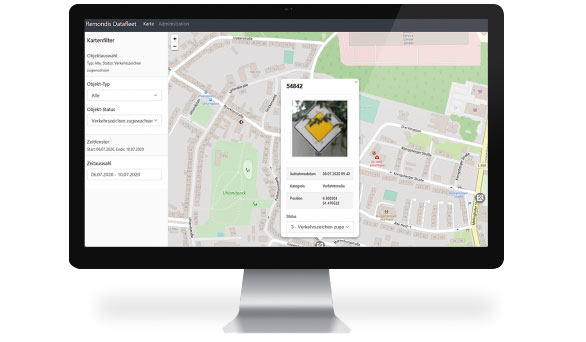
DataFleet, REMONDIS Innovation Hub’s very first project, has made all this possible. Quite literally ‘in passing’. Along a waste collection route, for example, as refuse collection trucks not only drive through the city and rural districts on a regular basis, they also go up and down practically every single street.
Added value for local authorities
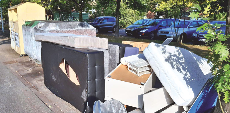
At the moment, city employees normally drive through their towns, noting down any problems – usually on paper – and then pass this information on to the relevant city department. This work can now be performed far more efficiently with the automated DataFleet system, which has been marketed by REMONDIS Digital Services GmbH since the third quarter of this year and is already being used in several regions. This system genuinely adds value to the work performed by local authorities as they are responsible for ensuring their streets are safe and fit for purpose. DataFleet is currently being developed for further applications: the system should, for example, soon be able to automatically recognise fly-tipping. The team are in regular contact with their customers and the system’s users to find out where else the system could be used.
DataFleet, the software solution that makes cities cleaner and safer: it uses optical sensors and artificial intelligence installed in the vehicle to record automated, data protection compliant and needs-based information about potential risks and problems in the city. This data is then sent with images and the geo coordinates to a cloud-based database, which can be accessed by the local authorities and REMONDIS companies
Image credits: image 1: Adobe Stock: 142701276, creator: vegefox.com, image 2: © REMONDIS